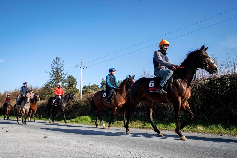
COLLISIONS between animals and vehicles are a threat to conservation efforts and human safety, and have a massive cost for transport infrastructure managers and users. Okay, so there’s no real pattern to measure when it comes to a loose horse on the road but, with the prevalence of the squashed local Sika deer on the roads around where I live and tow horses regularly, plus a couple of near misses with fallow deer, it got me asking the question ‘Is there technology that provides real-time driver information to avoid large animal collisions?’
It turns out there is, though it may be a while before it becomes part of all our driving day. The Volvo S90 offers a large animal detection in some of its vehicles. The system consists of two parts – a radar sensor and an infrared camera that can detect objects also when driving in the dark. The development team from Volvo Car Corporation digitally log film sequences of animals, such as moose, red deer, fallow deer and horses.
The standard-fitted radar/camera unit can detect large animals standing on the road or slowly moving across it with the side towards the car. If a large animal is detected, the Volvo S90 warns the driver. If the driver does not react, the car applies the brakes to mitigate the possible effects of an impending collision. The recorded data of the various behavioural patterns is used to evaluate and develop the sensor system.
French research
Using the opportunities offered by the increasing number of sensors embedded into transport infrastructures, a French research team has developed a method aiming at managing animal-vehicle collisions. The goal is to map the collision risk between trains and ungulates (roe deer and wild boar) by deploying a camera trap network.
The proposed method starts by simulating the most probable movements of animals within and around an infrastructure using ecological modelling software. This allows the assessment of where they are most likely to cross. After identifying these collision hotspots, ecological modelling is used again to assist with the design of photo sensor deployment in the field.
Once sensors are deployed, the data collected (in this case, photos) are processed through artificial intelligence (deep learning) to detect and identify species at the infrastructure’s vicinity.
The data is used to estimate the probable density of animals in every part of a studied area, using data collected at only a few points in that area. The result is a map showing the relative abundance of species and, therefore, the collision risk along an infrastructure.
Such a method paves the way for the integration of biodiversity-oriented monitoring systems into transport infrastructures and their digital twins. As sensors collect data continuously, it could be improved in the future to provide real-time driver information and produce dynamic adaptive maps that could be ultimately sent to autonomous vehicles.
For now, it’s a keen eye and a good set of brakes, but who knows, in the not too distant future, all cars may have large animal detection as standard.


 This is a subscriber-only article
 It looks like you're browsing in private mode


SHARING OPTIONS: